Package Overview
The Umbwe Route is the steepest, shortest, and most direct path to the summit of Mount Kilimanjaro. Unlike the gradual approaches of Lemosho or Machame, Umbwe attacks the mountain head-on — climbing steeply through dense rainforest on Day 1 and ascending a narrow ridge with dramatic drops on both sides on Day 2. It is a route that demands respect, and it is not recommended for beginners or those without prior high-altitude trekking experience.
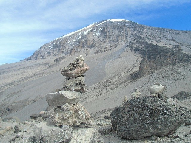
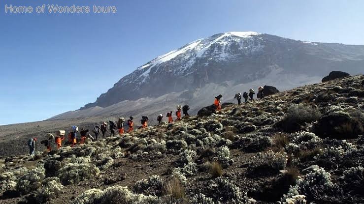
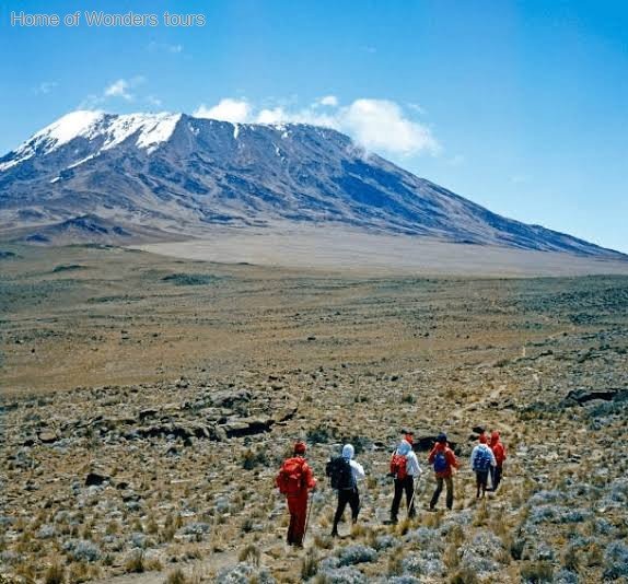
This 5-Day Umbwe Route with Winter Trails Tours and Safaris is designed for experienced, physically fit trekkers who want a true wilderness challenge. The route sees very few climbers — you may go the entire first two days without seeing another trekking group — and the scenery is arguably the most dramatic on the mountain: deep valleys, towering cliffs, the Great Rift Valley spread out below, and Kibo's glaciated summit rising ahead.
The trade-off is acclimatization. The 5-day itinerary ascends rapidly, giving your body very little time to adapt to the altitude. Summit success rates on the 5-day Umbwe are lower than on longer routes, which is why we strongly recommend the 6-day or 7-day Umbwe for most trekkers. The 5-day version is best suited to those with previous high-altitude experience who are confident in their body's ability to adapt quickly.
Itinerary
Day 1 — Umbwe Gate to Umbwe Cave Camp
Elevation: 1,600m → 2,850m
Hiking Time: 5–7 hours
Distance: ~11 km
Habitat: Montane rainforest
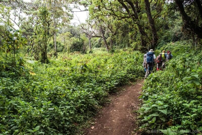
Your trek begins with a drive from your hotel in Moshi or Arusha to Umbwe Gate — the southern entrance to Kilimanjaro National Park. After registration, you'll begin your ascent through dense montane rainforest.
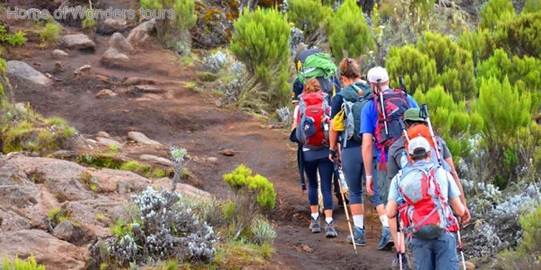
This is where the Umbwe Route sets itself apart. The trail is steep and narrow from the very first step, climbing immediately through the forest with root-laced sections that sometimes require hands for balance. The gradient is relentless, and there is no gentle warm-up. The rewards, however, are immediate: this is one of the most beautiful rainforest sections on the mountain, home to colobus monkeys, turaco birds, and towering camphor trees.
Day 2 — Umbwe Cave Camp to Barranco Camp
Elevation: 2,850m → 3,960m
Hiking Time: 4–6 hours
Distance: ~6 km
Habitat: Moorland
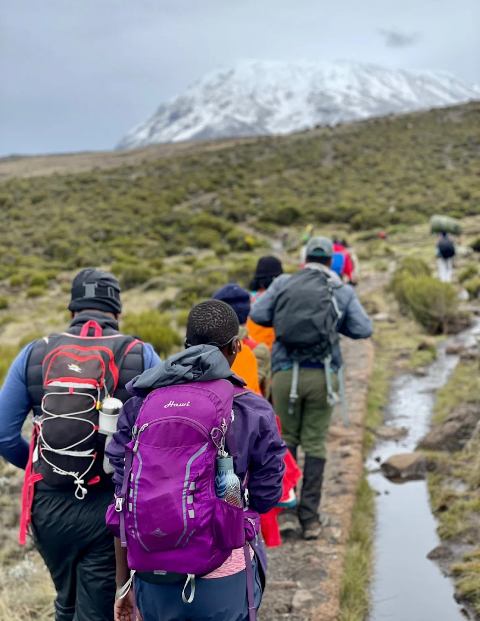
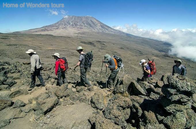
After breakfast, the trail climbs steeply out of the forest onto a narrow ridge with dramatic drops on both sides. The views of the Great Rift Valley are staggering, and as you emerge above the treeline, the vegetation changes to moorland with giant groundsels and lobelias.
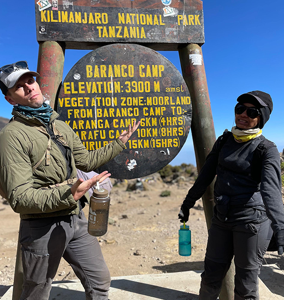
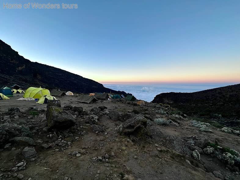
The trail is exposed and dramatic, with sections that require careful footing. You'll follow the ridge before joining the Machame Route near Barranco Camp (3,960m). This camp is one of the most scenic on the mountain, surrounded by giant senecios and dwarfed by the looming Barranco Wall above.
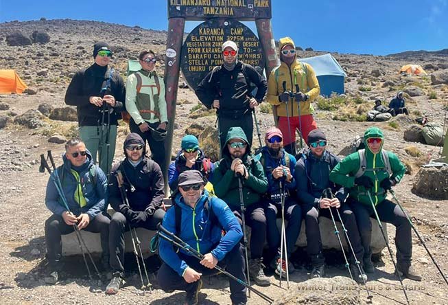
Day 3 — Barranco Camp to Karanga Camp to Barafu Camp
Elevation: 3,960m → 4,035m → 4,640m
Hiking Time: 7–8 hours
Distance: ~9 km
Habitat: Alpine desert
This is a long, demanding day. After breakfast, you'll tackle the famous Barranco Wall — a steep, non-technical scramble (Class 2) that takes about 1.5 hours to climb. Despite its imposing appearance, the Wall is manageable for most trekkers, and the views from the top are spectacular.
After conquering the Wall, you'll continue through the Karanga Valley (4,035m) — the last water point on the route — and then climb steadily to Barafu Camp (4,640m), the final base before summit night.
| Metric | Details |
|---|---|
| Elevation Gain | +680m |
| Hiking Time | 7–8 hours |
| Distance | 9 km |
| Difficulty | Moderate–Challenging |
| Habitat Zone | Alpine Desert |
| Key Feature | Barranco Wall scramble |
| Terrain | Rock scramble, steep scree |
| Sleeping Altitude | 4,640m |
Accommodation: Barafu Camp | Meals: Breakfast, Lunch, Dinner
Day 4 — Barafu Camp to Uhuru Peak to Mweka Camp
Elevation: 4,640m → 5,895m → 3,100m
Hiking Time: 12–15 hours
Distance: ~17 km
Habitat: Arctic summit and alpine desert
You'll be woken around 11:00 PM for tea and biscuits, then begin the ascent in the darkness. The trail is steep and switchbacks up scree and rock — the toughest part of the route.
After about 6 hours of climbing, you'll reach Stella Point (5,735m) on the crater rim — the moment you officially reach the summit. From there, it's a further 1–1.5 hours along the crater rim to Uhuru Peak (5,895m) — the highest point in Africa.
Day 5 — Mweka Camp to Mweka Gate
Elevation: 3,100m → 1,630m
Hiking Time: 3–4 hours
Distance: ~10 km
Habitat: Montane rainforest
After breakfast, continue your descent through the lush rainforest back to Mweka Gate. The trail is gentle, and the warmer air and thicker oxygen make this a pleasant final day. Look for monkeys along the way as you descend through the forest.
You'll arrive at Mweka Gate in the late morning, where you'll receive your summit certificate — a proud memento of your achievement. Your vehicle will transfer you back to your hotel in Moshi or Arusha.
| Metric | Details |
|---|---|
| Elevation Loss | -1,470m |
| Hiking Time | 3–4 hours |
| Distance | 10 km |
| Difficulty | Easy |
| Habitat Zone | Rainforest |
| Key Feature | Summit certificate ceremony |
| Terrain | Wet, muddy forest trail |
| Departure | Transfer to hotel |
Meals: Breakfast, Lunch
Full Route Summary Table
| Day | Route | Altitude Gain/Loss | Sleep Altitude | Difficulty |
|---|---|---|---|---|
| 1 | Umbwe Gate → Umbwe Cave Camp | +1,250m | 2,850m | Steep |
| 2 | Umbwe Cave Camp → Barranco Camp | +1,110m | 3,960m | Moderate–Steep |
| 3 | Barranco → Karanga → Barafu | +680m | 4,640m | Moderate–Challenging |
| 4 | Barafu → Uhuru → Mweka | +1,255m / -2,795m | 3,100m | Challenging |
| 5 | Mweka → Mweka Gate | -1,470m | — | Easy |
Included services in itinerary
- Meals (Breakfast, Lunch and Dinner) Included in itinerary
- Camping Experience
- Entrance Fees Included
- Hiking / Trekking
- Professional English-speaking safari guides
Excluded
- Swimming / Beach Access
- Tips and Gratuities not included
Trip Information
PDF format with full itinerary